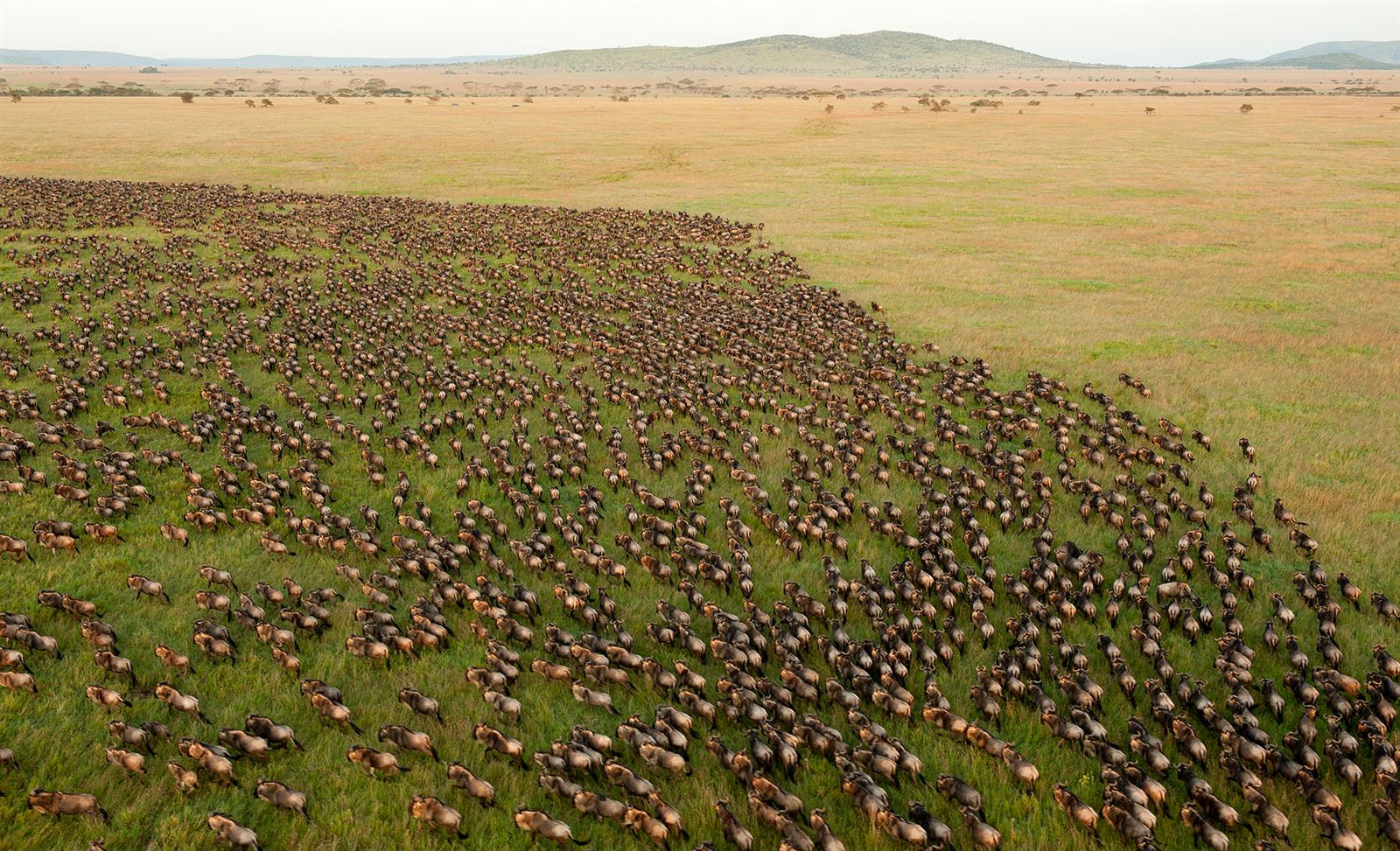

A drone reveals patterns invisible from the ground: the true scale of a wildebeest column stretching across the Serengeti plains, the precise geometry of Bwindi’s forest canopy folding over hidden valleys, the full curve of a river gorge that a ground-level photo can only ever partially capture. East Africa’s landscapes, dramatic Rift Valley escarpments, volcanic peaks, sprawling savanna, reward aerial photography in ways few other regions on the planet can genuinely match, though flying a drone here comes with genuine legal complexity that photographers need to understand before ever packing one for a trip, since rules differ meaningfully from one country and one park to the next, and what’s permitted in one location can be strictly prohibited only a short drive away.
Murchison Falls: Uganda’s Most Dramatic Aerial Subject
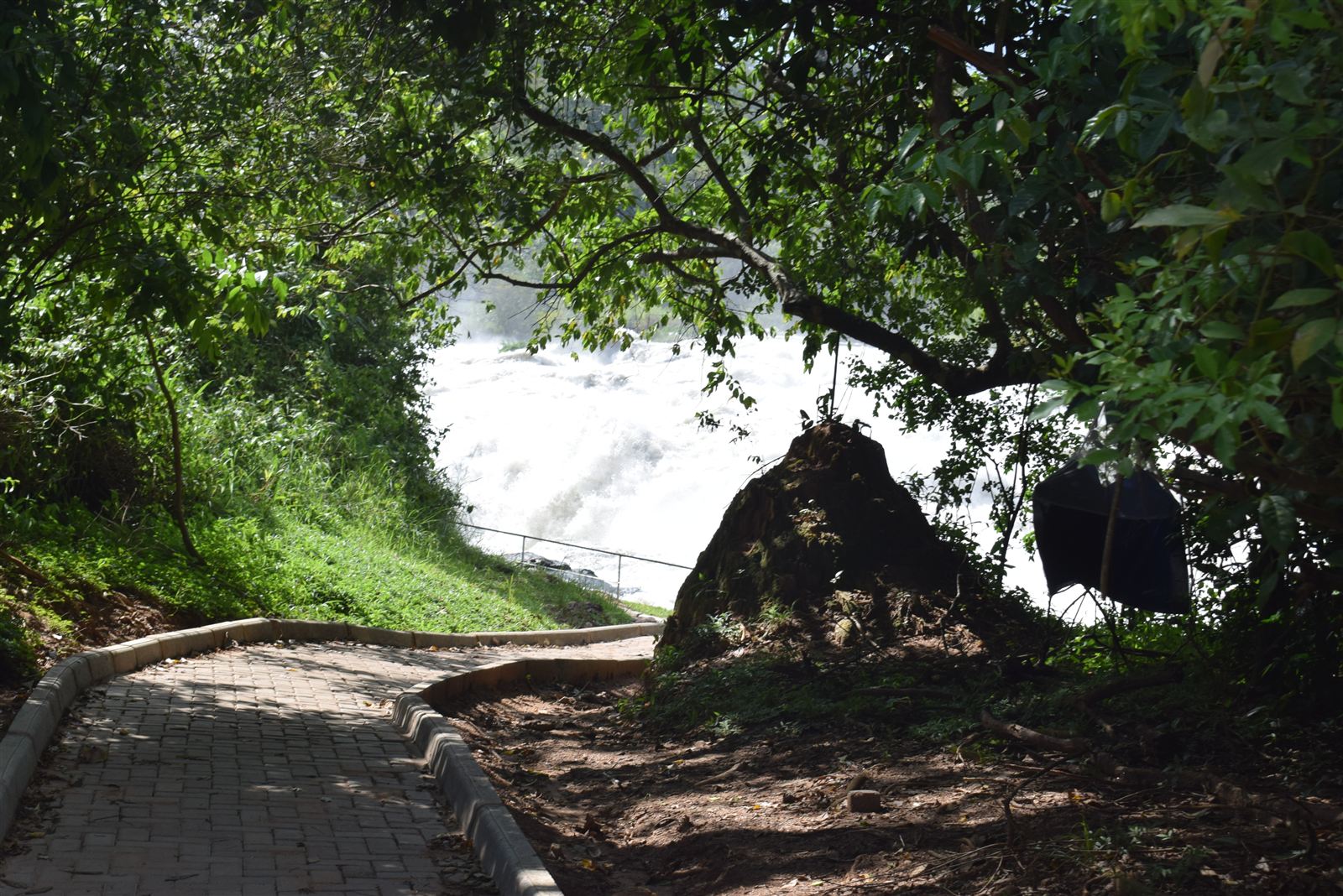
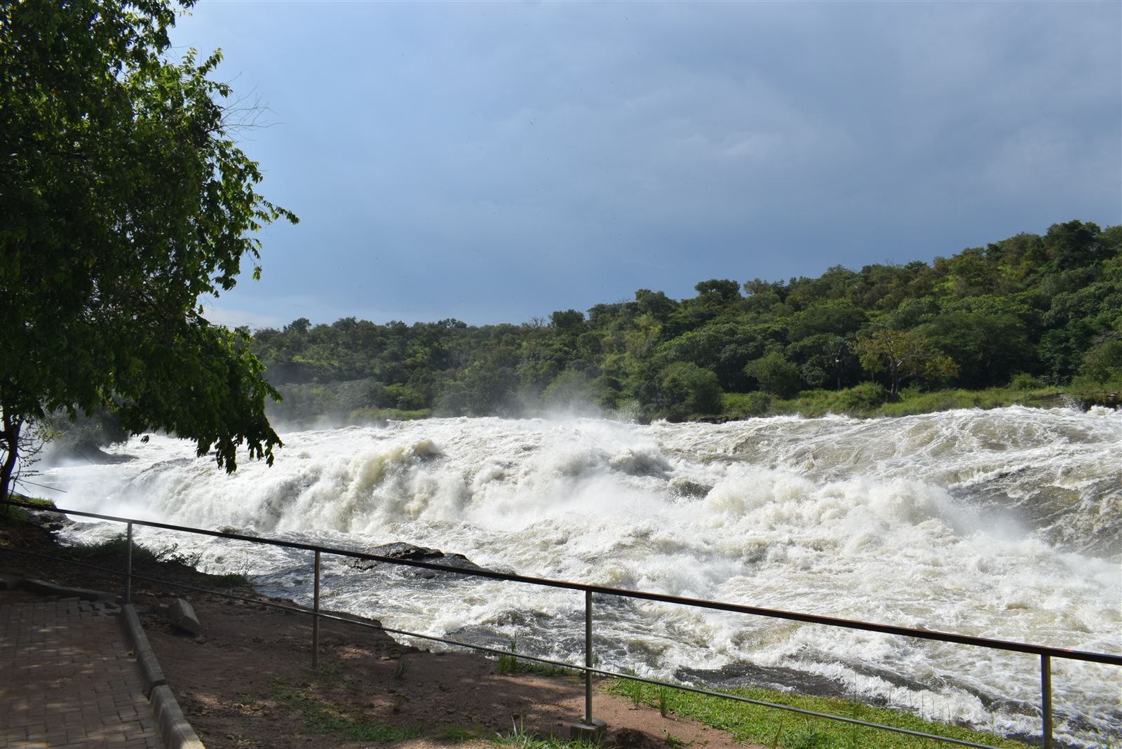
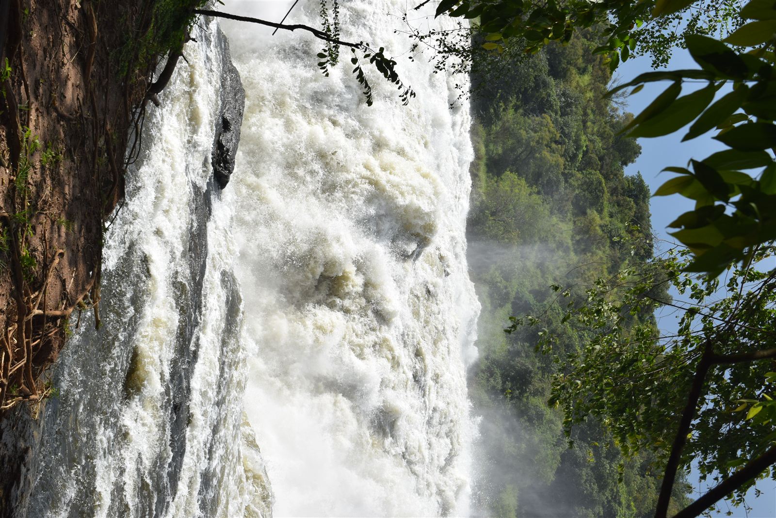
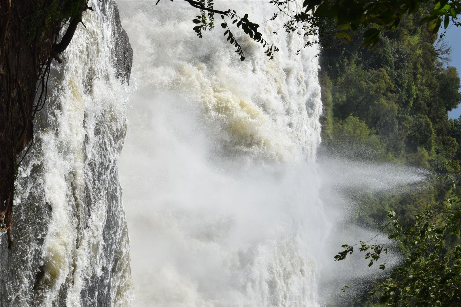
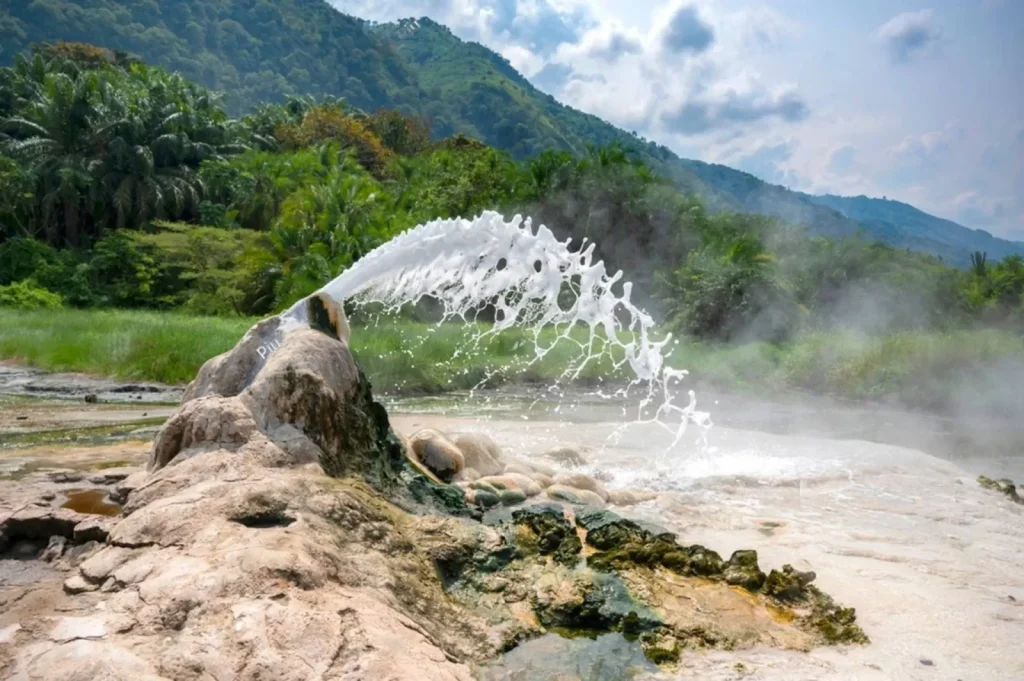
Few East African landscapes reward a drone’s-eye view quite like Murchison Falls, where the entire Nile River forces itself through a gorge just seven metres wide before plunging into the pool below, a scene that a ground-level shot can only ever partially convey. From altitude, the falls’ full geometry becomes visible at once, the river’s dramatic narrowing, the spray hanging in the gorge, the wider Nile continuing its course downstream toward Lake Albert, in a single frame that no ground vantage point can replicate. Drone use within the park, however, sits squarely within Uganda Wildlife Authority’s regulated permit system covered in detail elsewhere, and photographers should treat permission and permit fees as a firm prerequisite rather than an afterthought, arranged well before arrival rather than negotiated on the spot at the park gate.
The Rift Valley’s Escarpments and Crater Lakes
Kenya’s Great Rift Valley offers some of the region’s most striking aerial geology, the sheer walls of the Elgeyo Escarpment dropping toward the Kerio Valley, the near-perfect circular calderas of crater lakes scattered across the valley floor, and the stark, layered colours of soda lakes like Bogoria and Nakuru visible in full only from above. These landscapes photograph well from the ground too, but altitude adds genuine context, showing how a single lake or escarpment fits within the Rift Valley’s much larger geological story stretching visibly toward the horizon in both directions.
Serengeti and Maasai Mara: Capturing Scale and Migration Patterns
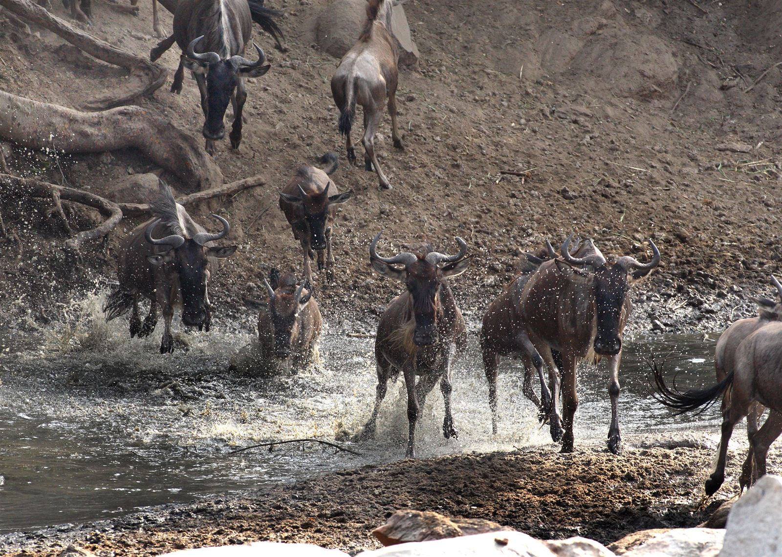
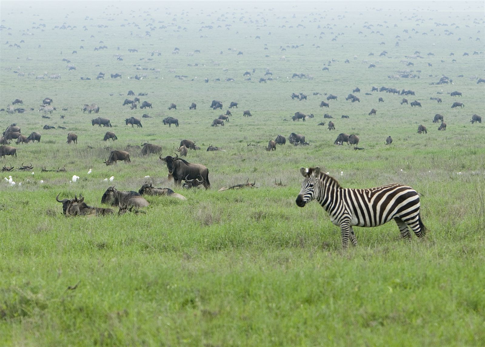
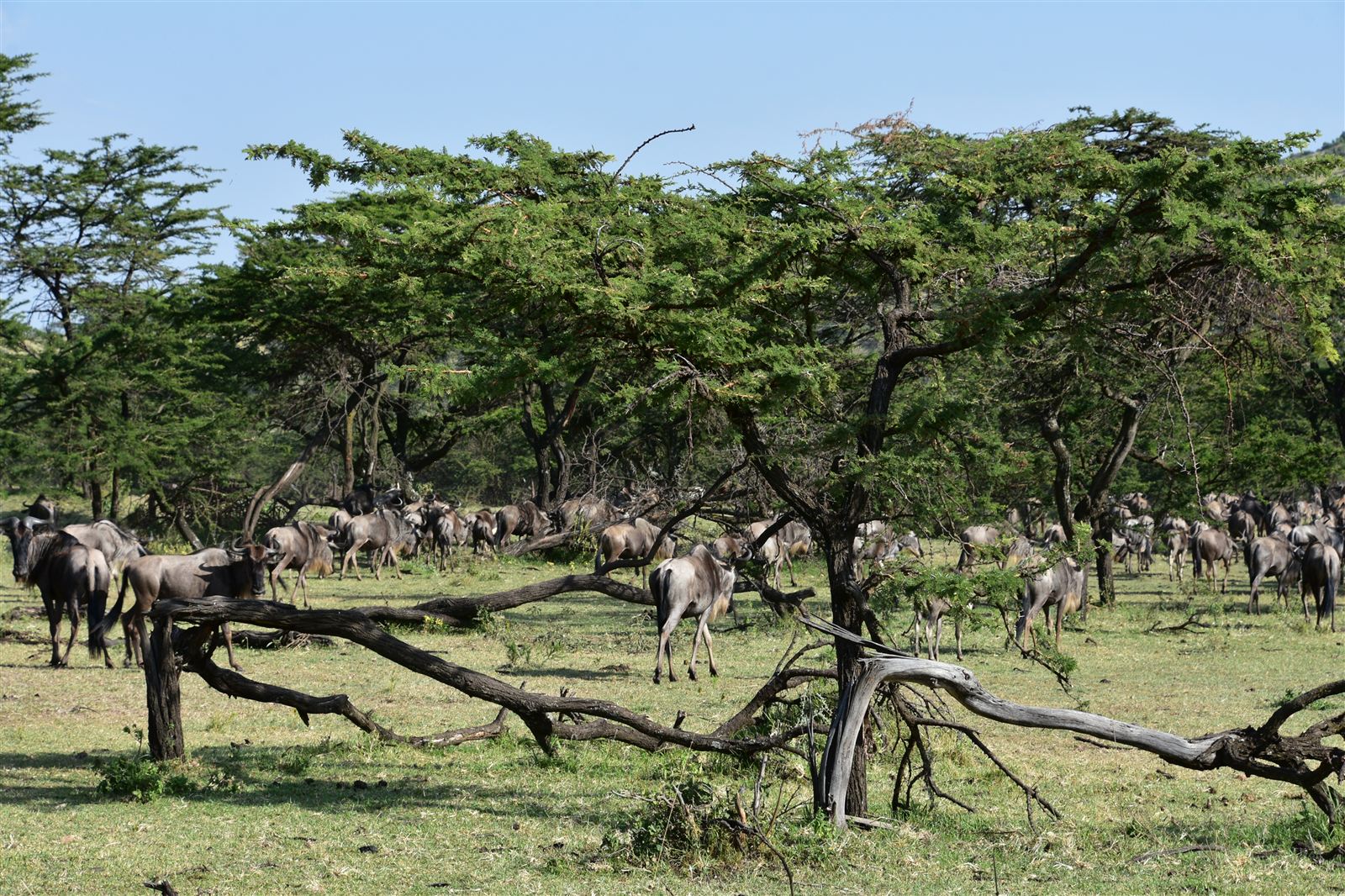
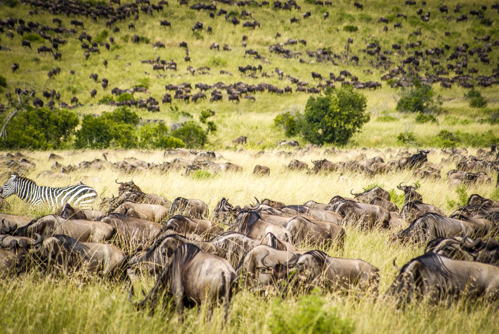
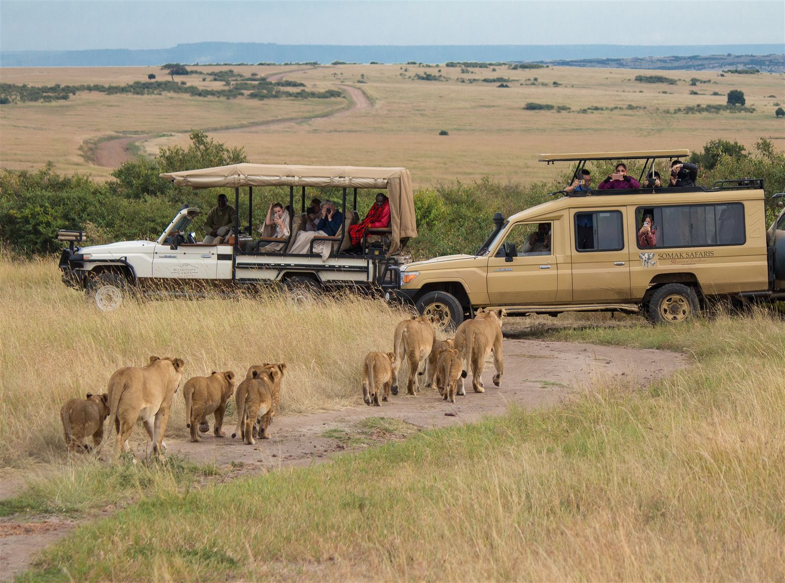
The sheer scale of the Serengeti-Mara ecosystem is genuinely difficult to convey from ground level, and aerial photography during migration season captures something a vehicle-based photographer simply can’t: the true shape and density of wildebeest columns stretching for kilometres, river crossing points seen in their full chaotic scale, and the patchwork of grassland, woodland, and seasonal water that defines the wider ecosystem’s geography. Drone use directly over wildlife within Tanzania’s and Kenya’s national parks faces the strictest regulatory limits in the region, given legitimate concerns about disturbing animals, and most of this kind of photography in practice comes from licensed commercial operators working with specific park authorisation rather than independent travellers flying their own equipment.
Bwindi and Rwanda’s Volcanic Forest Canopy
Uganda’s Bwindi Impenetrable Forest and Rwanda’s Volcanoes National Park offer a completely different aerial subject: dense, unbroken forest canopy folding over steep volcanic terrain, with the Virunga peaks occasionally breaking through morning mist in a way that ground-level photography, taken from beneath the canopy, can never capture. Drone flight within gorilla trekking zones themselves is essentially off-limits given the extreme sensitivity around disturbing habituated gorilla groups, but photography from permitted vantage points outside core trekking areas, looking across the forest canopy toward the volcanoes, remains genuinely spectacular and considerably less regulated than flight directly over active wildlife zones.
Zanzibar’s Coastline and Coral Reefs
Away from the mainland’s wildlife-focused regulations, Zanzibar offers some of the region’s most accessible drone photography, turquoise water grading into darker channels over coral reefs, dhow sailboats casting long shadows across sandbanks at low tide, and Stone Town’s dense, historic rooftop architecture from directly above, a genuinely different visual register from the wildlife and geology-driven subjects found elsewhere across the region. Coastal drone photography here faces considerably lighter regulatory scrutiny than mainland wildlife areas, though photographers should still avoid flying directly over crowded beach areas or near any airport approach paths, both for safety and to avoid disturbing other travellers’ experience of the beach itself. Stone Town’s dense, UNESCO-listed old town in particular rewards careful, low-altitude aerial work over its maze of narrow streets, carved wooden doors, and rooftop terraces, a genuinely different subject from the island’s open-water coastline and worth treating as a separate shoot with its own distinct lighting and composition considerations.
Understanding the Region’s Drone Regulations
Drone photography across Uganda, Rwanda, and Kenya’s national parks operates under a genuinely complex, occasionally inconsistent regulatory framework, and the specific rules governing permits, fees, and restricted flight zones deserve their own dedicated attention rather than a brief summary here. What’s worth understanding upfront is the basic principle behind these restrictions: wildlife disturbance, safety around low-flying aircraft used for tourism and conservation work, and, in some areas, security sensitivities around border regions and government installations all factor into where and whether drone flight is permitted. Photographers should never assume a drone legal in one country’s parks is automatically permitted in a neighbouring country’s, since each nation’s wildlife and aviation authorities maintain their own separate rules, and a full breakdown of drone photography rules across Uganda, Rwanda, and Kenya’s parks is essential reading before packing any equipment for a trip built around aerial photography.
Equipment Considerations for East African Conditions
Dust, heat, and altitude all affect drone performance meaningfully in this region, and photographers should factor equatorial conditions into their equipment choices and flight planning. High-altitude locations like Rwanda’s volcanic highlands or Kenya’s Rift Valley escarpments reduce propeller efficiency compared with sea-level flight, shortening effective flight time and demanding more conservative battery management than a pilot might be used to elsewhere. Dust infiltration during dry season flights, particularly around savanna and semi-arid regions, warrants regular equipment cleaning and inspection, and photographers should travel with spare propellers and batteries given the limited availability of specialist drone parts and repair services across most of the region outside major capital cities. Customs officials at several regional airports have grown increasingly familiar with drone equipment given rising visitor demand, but travellers should still expect occasional questions or a request to declare equipment on arrival, and carrying proof of any required permits alongside the equipment itself smooths this process considerably compared with arriving without documentation and hoping the question doesn’t arise.
Working With Licensed Commercial Operators
For the most restricted and sensitive locations, active wildlife areas within Serengeti, Maasai Mara, and gorilla trekking zones in particular, independent drone flight is either prohibited outright or so heavily restricted as to be impractical for most visiting photographers. Working through a licensed commercial drone operator, someone holding the specific park and aviation authority to fly in a given area, is the realistic path to genuinely spectacular aerial imagery in these locations, and several specialist photography tour companies now offer exactly this kind of access as part of dedicated photography safaris. These arrangements typically cost considerably more than independent recreational drone flight elsewhere in the region, reflecting both the specialist licensing involved and the smaller number of operators qualified to offer the service at all, but they represent the only realistic route to aerial photography in the region’s most tightly regulated wildlife areas.
Composing Strong Aerial Images in East African Light
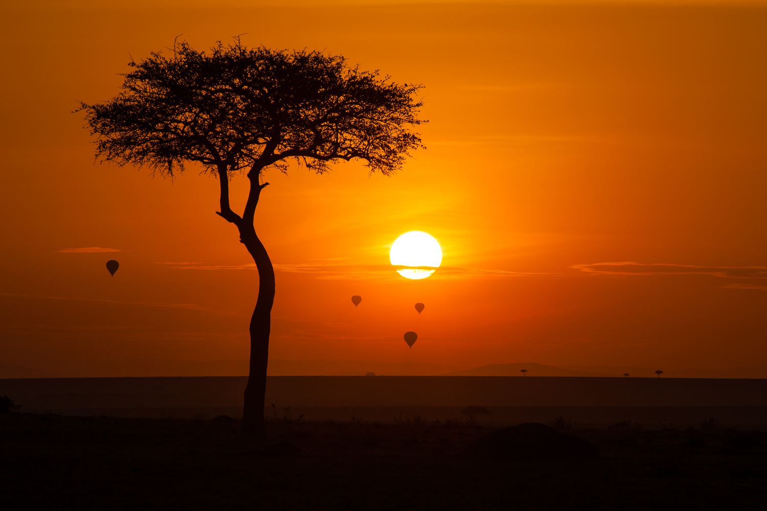
Equatorial light behaves differently than the softer, more angled light found at higher latitudes, and photographers used to shooting aerial work in temperate regions should adjust their expectations accordingly, harsh overhead midday sun flattens landscape texture considerably, making the golden hours shortly after sunrise and before sunset especially valuable for aerial work here. Shadows cast by isolated acacia trees, herds of grazing animals, or geological features like the Rift Valley’s escarpment walls become genuinely striking compositional elements during these low-light windows, adding a sense of depth and scale that flat midday light simply can’t deliver. Photographers planning a dedicated aerial photography trip should build their schedule around these narrow windows rather than treating drone flights as an incidental activity squeezed between other parts of a day’s itinerary.
Best Time of Year for Aerial Photography
Dry season months, June through September and December through February, offer the clearest skies and most stable flying conditions across most of the region, with reduced cloud cover and lower wind speeds than during the long and short rains. Early morning flights, before midday heat builds thermal turbulence and haze, generally produce the sharpest images and the calmest handling conditions, an especially important consideration for wildlife-adjacent locations where a stable, controlled flight reduces any risk of an unexpected gust pushing a drone into a restricted or sensitive area. Photographers should also build weather contingency into any itinerary planned specifically around aerial work, since a single overcast or rainy morning can eliminate an otherwise carefully planned shooting window, and East Africa’s dry seasons, while generally reliable, still bring occasional unpredictable cloud cover, particularly at higher elevations where mist and low cloud can linger well past sunrise even during the driest months of the year.