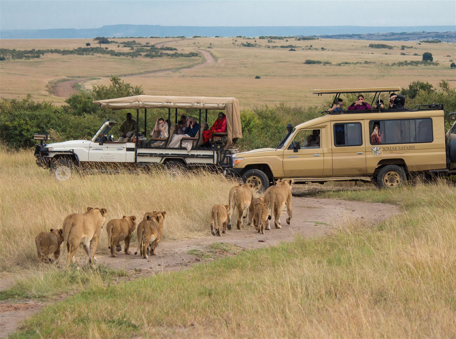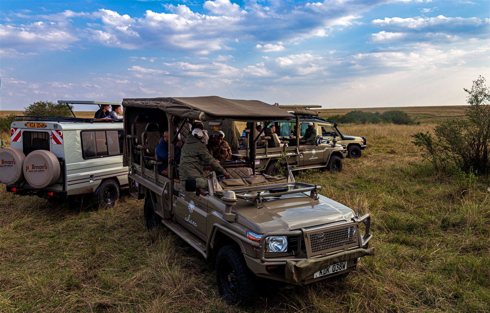

Uganda rewards a self-drive trip in a way relatively few African safari destinations genuinely do, thanks to its compact overall size, a reasonably developed tarmac network connecting its major towns, and wildlife destinations that, unlike some of the continent’s more remote parks, sit within a manageable single day’s drive of the capital rather than requiring an expensive charter flight to reach at all. That said, self-driving here still means sharing the road with boda-boda motorcycles, unpredictable long-distance buses, and the occasional stretch of genuinely rough dirt track, so choosing the right route and knowing exactly what to expect on it matters considerably more here than it would on a well-signposted, predictable European road trip through open countryside.
Kampala to the Western Circuit: Fort Portal and Queen Elizabeth
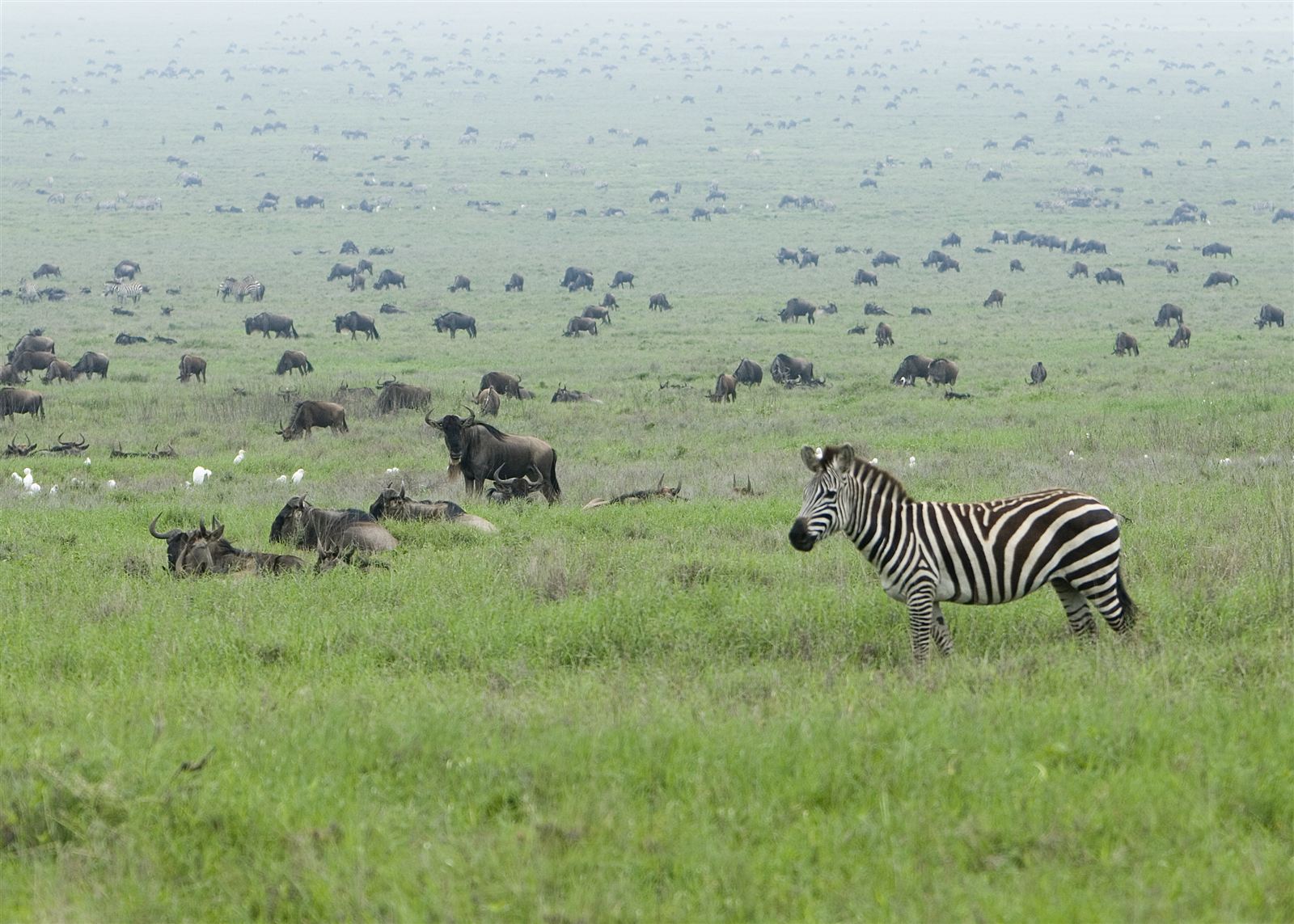
This route runs from Kampala through Mubende to Fort Portal, roughly five to six hours on generally good tarmac, before continuing south to Queen Elizabeth National Park and its Kasese-side entrances. It’s arguably Uganda’s richest single self-drive route for variety, passing crater lakes, tea plantations, and the edge of Kibale Forest before delivering savannah, the Kazinga Channel, and the tree-climbing lions of Ishasha. Fort Portal itself makes a natural overnight stop roughly halfway along the route, covered in detail in our guide to Fort Portal as the gateway to Uganda’s crater lakes. The final stretch into Queen Elizabeth involves a mix of tarmac and well-maintained murram road, manageable in a standard 4×4 without specialist off-road equipment during the dry season.
Kampala to Murchison Falls
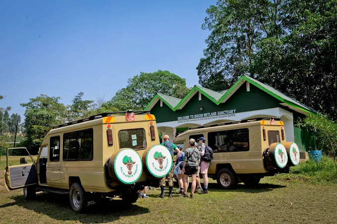
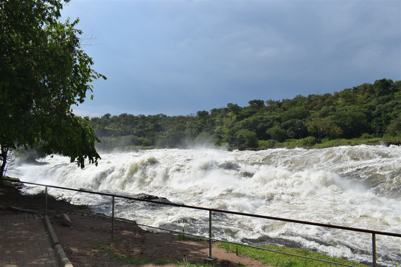
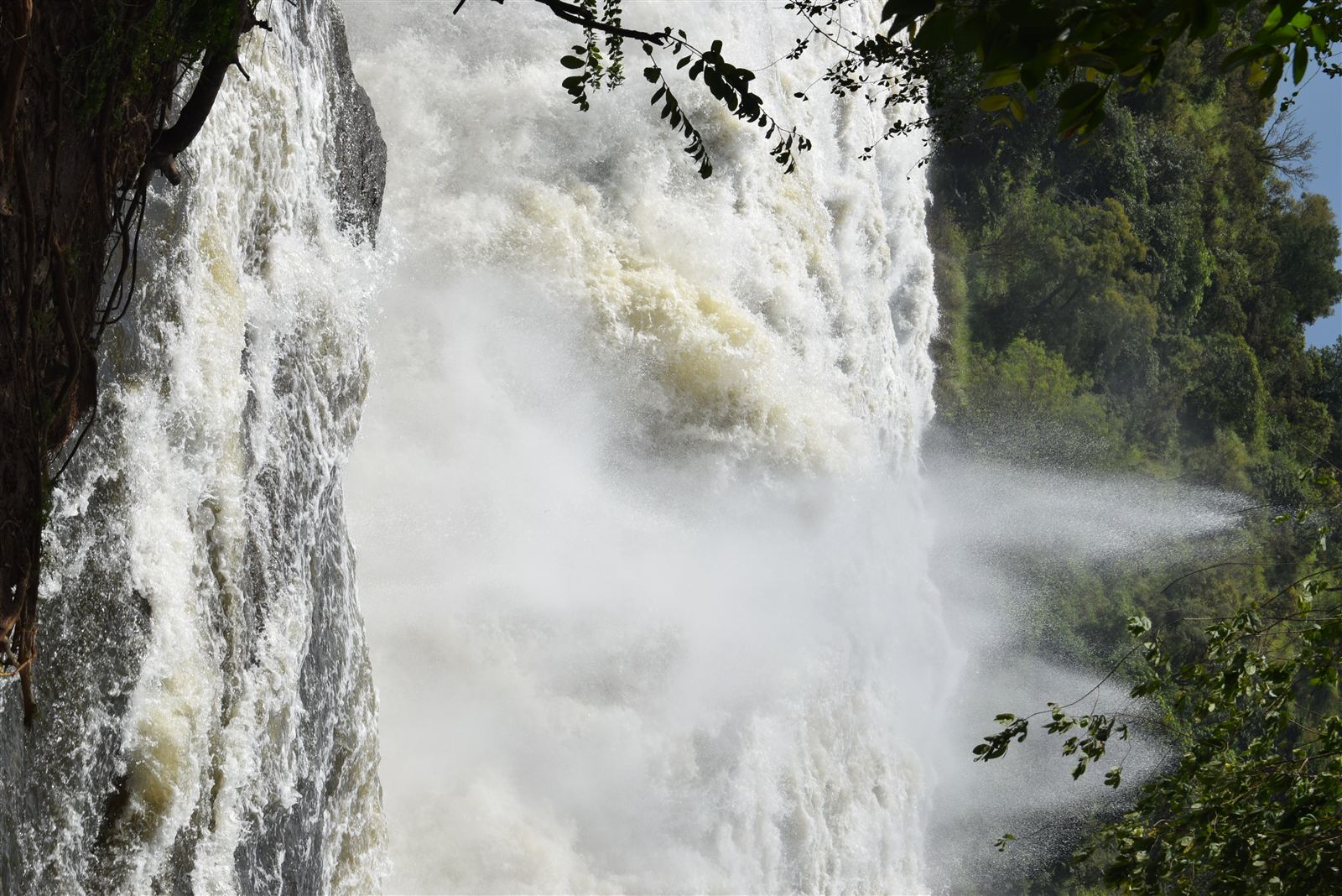
Heading north through Masindi, this route to Uganda’s largest national park covers roughly four to five hours of driving, with the final approach into the park running along a mix of tarmac and gravel road that firms up considerably during the dry months. Self-drivers should budget extra time for this route specifically around the Nile ferry crossing at Paraa, which connects the park’s northern and southern sections and can involve genuine waiting time during busy periods, an unavoidable bottleneck no amount of careful route planning entirely eliminates. Travellers arriving close to the ferry’s scheduled departure windows fare considerably better than those hoping to simply turn up and cross immediately, and it’s worth checking current crossing times with the park directly before finalising a same-day itinerary that depends on making a specific ferry slot.
Kampala to Bwindi via Mbarara and Kabale
The classic southwestern route toward gorilla trekking runs through Masaka, Mbarara, and Kabale before climbing into the hills around Bwindi Impenetrable Forest, a genuinely long full-day drive of eight to nine hours that most self-drivers sensibly break into two separate days rather than attempting it all in one single, exhausting push behind the wheel. Because this specific route carries enough traffic and enough first-time-visitor questions to warrant its own dedicated treatment, our full guide to the road trip from Kampala to Bwindi covers stops, timing, and road conditions in considerably more depth than fits naturally here.
Kampala to Kidepo Valley: The Long Haul North
Reaching Uganda’s most remote major park by road is a genuine undertaking rather than a casual day trip, running through Gulu or Lira in the north over a distance that typically takes a full two days of driving each way, crossing some of the least developed road infrastructure in the country along the final stretch into Karamoja. Most visitors to Kidepo, understandably, opt for a domestic charter flight rather than driving, a trade-off covered from the flying side in our 4-day Kidepo Valley fly-in safari itinerary. For committed overlanders specifically seeking the genuine experience of Uganda’s far northeast by road, though, the drive itself, passing through Karamojong cattle country covered in our piece on Karamojong culture, becomes as much a part of the trip as the destination.
Kampala to the East: Jinja, Sipi Falls, and Mount Elgon
The eastern route out of Kampala runs through Jinja and Mbale toward Sipi Falls and Mount Elgon, almost entirely on well-maintained tarmac and comfortably the easiest of Uganda’s major self-drive routes for anyone still building confidence with the country’s road culture. Jinja itself, covered in our guide to Jinja as Uganda’s source-of-the-Nile adventure capital, sits barely two hours from Kampala and makes a natural first overnight stop, while the continuing drive up toward Sipi Falls climbs gradually into cooler, hillier terrain without ever demanding the sustained 4×4 capability the western and northern routes require. This corridor works particularly well as a confidence-building first self-drive route for travellers planning a longer, more demanding circuit later in the same trip.
Documents, Insurance, and Checkpoints
Self-drivers need a valid driving licence, generally either an International Driving Permit or a licence from a country Uganda formally recognises, along with proof of vehicle insurance and registration documents kept accessible in the vehicle at all times rather than packed away in luggage. Police checkpoints appear regularly on major highways, particularly around town entrances and exits, and while most amount to a brief, routine wave-through, having documents ready to hand over immediately keeps these stops as short as they’re meant to be. Speed limits are enforced considerably more inconsistently than checkpoint frequency alone might otherwise suggest, but posted limits through trading centres and small villages are worth respecting regardless, both for safety given the volume of pedestrians and cyclists using the same road edge, and because fines for speeding through a clearly marked village zone are issued often enough that they genuinely do matter to a self-drive travel budget.
What Self-Driving in Uganda Actually Requires
Vehicle Choice
A genuine 4×4 with reasonable ground clearance is strongly recommended for any route heading beyond the main tarmac highways, particularly during the wet season when murram roads around parks like Queen Elizabeth and Murchison turn slick and rutted. Rental companies based in Kampala generally stock vehicles specifically set up for exactly this kind of driving, including rooftop tents and full camping equipment for travellers building an extended overland itinerary rather than a purely lodge-based trip from park to park.
Road Conditions and Driving Culture
Uganda drives on the left, and the tarmac highways connecting major towns are generally in reasonable condition, though potholes appear without warning even on well-maintained stretches, and night driving outside major towns is best avoided given the combination of unlit roads, pedestrians, and livestock that can appear directly in a vehicle’s path with little warning. Boda-boda motorcycles weave through traffic in ways that take real adjustment for drivers used to more predictable road discipline, and long-distance buses on the main highways have a well-earned reputation for aggressive overtaking that self-drivers should give a wide, cautious berth rather than competing for road space.
Fuel and Practical Logistics
Fuel stations cluster reliably around larger towns but thin out noticeably on the longer stretches toward remote parks like Kidepo, making it standard practice to fill up fully at every reasonable opportunity rather than assuming the next station is close enough to risk running low. Mobile money and cash both remain genuinely useful for fuel and roadside purchases, since not every station outside Kampala reliably accepts card payment, and carrying some local currency in smaller denominations smooths minor transactions considerably throughout the course of a longer self-drive itinerary spanning several days on the road.
Navigation and Best Time to Drive
Offline mapping apps that don’t depend on continuous mobile signal are essential rather than optional once a route leaves the main tarmac corridors, since coverage drops out entirely across long stretches of rural road, particularly on the way to Murchison and Kidepo. Downloading detailed offline maps before setting out each day, rather than relying on real-time data connectivity to patch gaps as they appear along the way, avoids the genuinely stressful experience of losing all navigation at an unmarked rural junction with no clear signage and no phone signal whatsoever to fall back on. The two drier windows, roughly December through February and June through August, make every one of these routes considerably more manageable, since Uganda’s murram and dirt roads deteriorate fast in heavy rain, turning routine drives into multi-hour ordeals of mud and standing water that a well-planned dry-season trip avoids entirely.
Weighing Self-Drive Against a Guided Alternative
None of this means self-driving suits every traveller or every itinerary equally well, a question covered specifically for gorilla trekking logistics in our piece on self-drive gorilla safaris. Broadly, self-driving rewards travellers with genuine driving confidence, some built-in schedule flexibility, and a taste for the logistics themselves being part of the adventure, while those prioritising maximum wildlife-spotting efficiency, or simply preferring to watch the passing scenery rather than concentrate on the road ahead, are usually better served overall by a driver-guide who already knows each route’s specific quirks firsthand. A hybrid approach also works well for many travellers: self-driving the easier eastern and western tarmac corridors personally while handing off the longer, rougher haul to Kidepo or an especially demanding rainy-season stretch to a hired driver, getting the independence of self-driving where it’s genuinely rewarding without the added stress where it mostly isn’t.